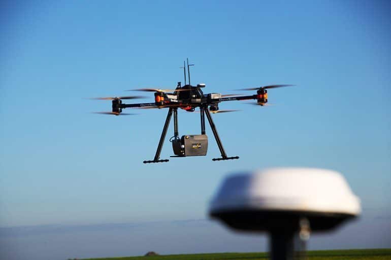
LiDAR (light detection and ranging) is one of archaeology’s most exciting modern tools. LiDAR is used to map topography, plan excavations and find sites that cannot be seen with the naked eye.
In 2010, archaeologists looking for evidence of hard-to-find Maya sites were astonished when LiDAR revealed a lost Maya city.
Read the full article at National Geographic.

LiDAR Image: Cargyrak Wikimedia CC BY-SA 4.0
